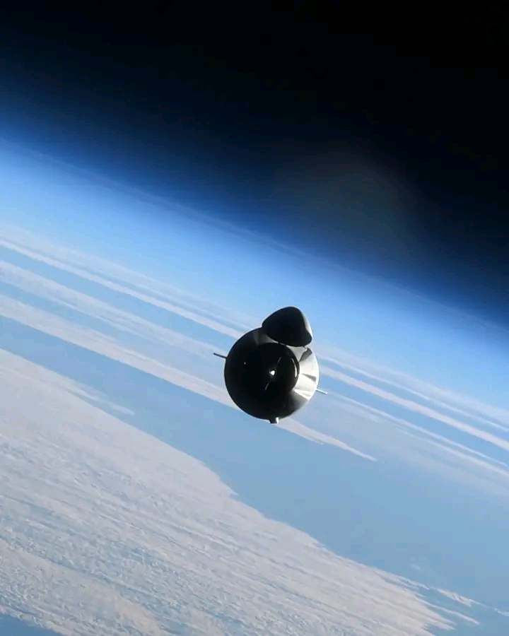
An international consortium of space agencies has announced a joint satellite mission dedicated to monitoring the rapid changes in Earth’s polar ice sheets.
The project, involving partners from Europe, North America, and Asia, will launch a specialized radar satellite within the next three years. Scientists say the data will improve predictions of sea-level rise and help coastal communities prepare for future impacts.
Researchers emphasized that the mission will provide continuous, high-resolution measurements of ice thickness and movement in both the Arctic and Antarctic.
The collaboration includes shared funding, technology contributions, and open access to the scientific data for researchers worldwide. Climate experts described the agreement as an important step in strengthening global observation systems.
Mission planners have already begun designing the satellite instruments and selecting launch partners. Educational outreach programs will accompany the project to engage students in polar science and climate research. Officials noted that the timing is critical as polar regions continue to warm faster than the global average.
Follow-up meetings are scheduled to finalize technical details and data-sharing protocols. The announcement has been welcomed by environmental organizations and governments concerned about the long-term consequences of melting ice for low-lying nations and global weather patterns.
Leave a Reply